- Deutsch
- English
Languages:
This site is created using Wikimapia data. Wikimapia is an open-content collaborative map project contributed by volunteers around the world. It contains information about 32843699 places and counting.
Learn more about Wikimapia and cityguides.
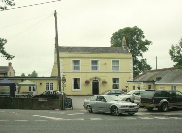
Radstock
Radstock, along with Norton is a small conurbation and large civil parish in Bath and North East Somerset, England, 8 miles (13 km) south west of Bath, and the same distance north west of Frome. It has a population of 21,325 according to the 2001 census. The term Norton Radstock is not recognised by local residents, neither does it appear on any road map. It consists of the twin towns of Midsomer Norton and Radstock. The town is north of the Mendip Hills. The parish includes the smaller settlements of Clandown, Westfield and Haydon. Following a Governance Review in 2010, it will be abolished in 2011 and replaced
by three smaller councils.
"Adapted from Wikipedia."
Former railway town at the centre of the (former) Somerset Coalfield - with a cluster of pits both in and in the immediate surrounding area, An important maket town, the imposing Market Hall now houses the impressive Mining Museum.
The last pit closed in 1973, after more than 200 hundred years of of deep pit mining in the town, and centuries at the periphery of the coalfield where outcrops had first been worked from Roman times onwards.
The District is said to represent the most intact of the many former 'rural' coal -mining areas in the country; both because of the many white lias former miners' homes which remain a prominent feature of the town, the fact that a good many of the former spoil tips (known as 'batches' locally) are still in situ if now tree covered, and because the town centre itself has changed relatively little in part due to the geography - lying as it does at the convergence of five valleys.
It is also important in that the social conditions gave rise to the formation of the Radstock Cooperative & Industrial Society in mid-Victorial times. The 'co-op' continues to play a vital role in the life of the town,and prouudly retains its independence from the CRS combine.
Run by locals for locals, and retaining its own farms, it has successfully met the challenges of the ever voracious supermarket chains by placing mutuality and cooperative ideals and values at the cornerstone of 'bringing food, goods and services from the fields to the plate'.
The district also retains is local distinctiveness in other respects - socially and politically - and very unlike other parts of Somerset not 10 miles away ! A visit to the Museum and a taste of Radstock's history and heritage is a must - especially for the number of commuters now resident in the town
Wikipedia article: http://en.wikipedia.org/wiki/Norton_Radstock
Radstock, along with Norton is a small conurbation and large civil parish in Bath and North East Somerset, England, 8 miles (13 km) south west of Bath, and the same distance north west of Frome. It has a population of 21,325 according to the 2001 census. The term Norton Radstock is not recognised by local residents, neither does it appear on any road map. It consists of the twin towns of Midsomer Norton and Radstock. The town is north of the Mendip Hills. The parish includes the smaller settlements of Clandown, Westfield and Haydon. Following a Governance Review in 2010, it will be abolished in 2011 and replaced
by three smaller councils.
"Adapted from Wikipedia."
Former railway town at...
 Reduce description
Radstock on the map.


Recent city comments: